Capture memories with precision
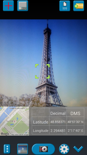
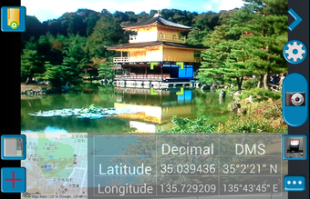
GPS Map Camera is a geotagging app that automatically adds GPS location data to photos. Users can capture new images or tag existing ones, ensuring precise time and place documentation. With built-in camera settings and a user-friendly interface, this free travel companion is perfect for travelers and professionals alike.
Tagging made simple
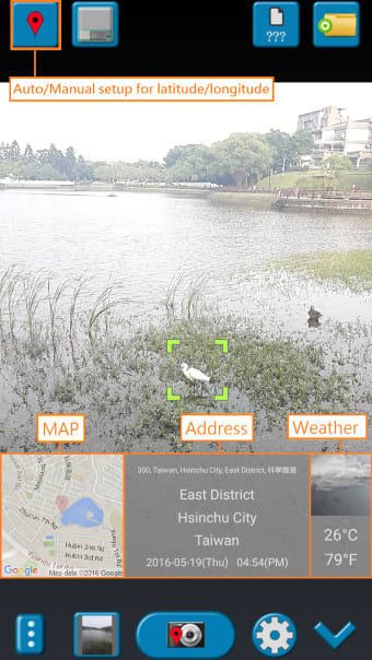
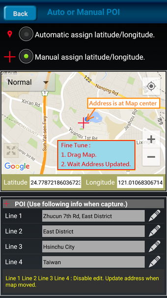
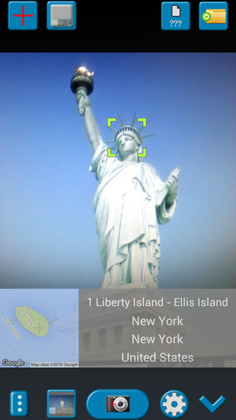
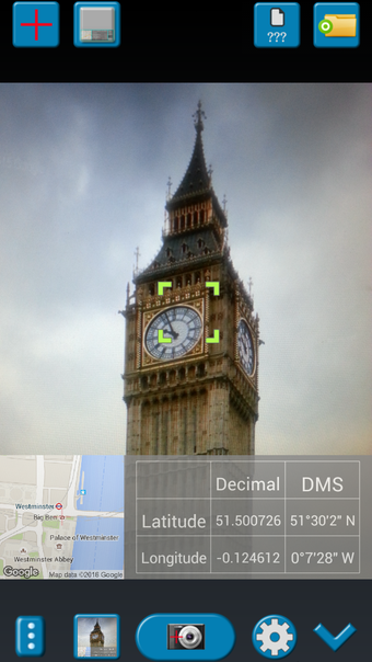
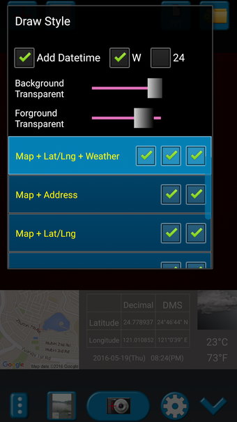
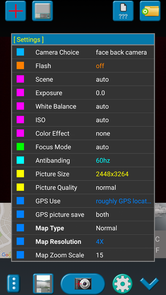
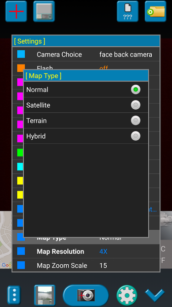
GPS Map Camera enhances the photo-taking experience by automatically embedding location data into images. Users can view their tagged photos on an interactive map, making it easier to relive past travels and organize their memories. The app also includes advanced camera settings, allowing users to adjust their shots to an extent.
That said, while the app is convenient, it relies on third-party applications, which might be a drawback for those seeking a standalone solution. Additionally, occasional crashes have been reported, which might impact the user experience. The lack of built-in photo editing features also means users will need another app for modifications.
For location-conscious photographers
GPS Map Camera is for geotagging enthusiasts looking for an easy way to embed location data into their pictures. While it has some drawbacks, its simplicity, built-in camera features, and map integration make it a useful addition for those who want to keep track of where their memories were made.